


Recorded plant species
4,996Plant species represented in public recordsBiodiversity records
42,145Biodiversity observations indexed by the platformOrganization themes
8All themes currently registered in the organizationOrganization members
8Members currently registered in the organizationForest coverage
53.39%Official figure published for the 14th Five-Year PlanHighest elevation
1,902mShikengkong, the highest peak in GuangdongProtected areas
1,361Protected areas established across GuangdongWild higher plants
6,658Wild higher plant species recorded in Guangdong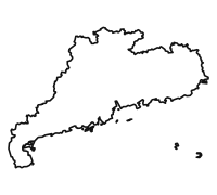
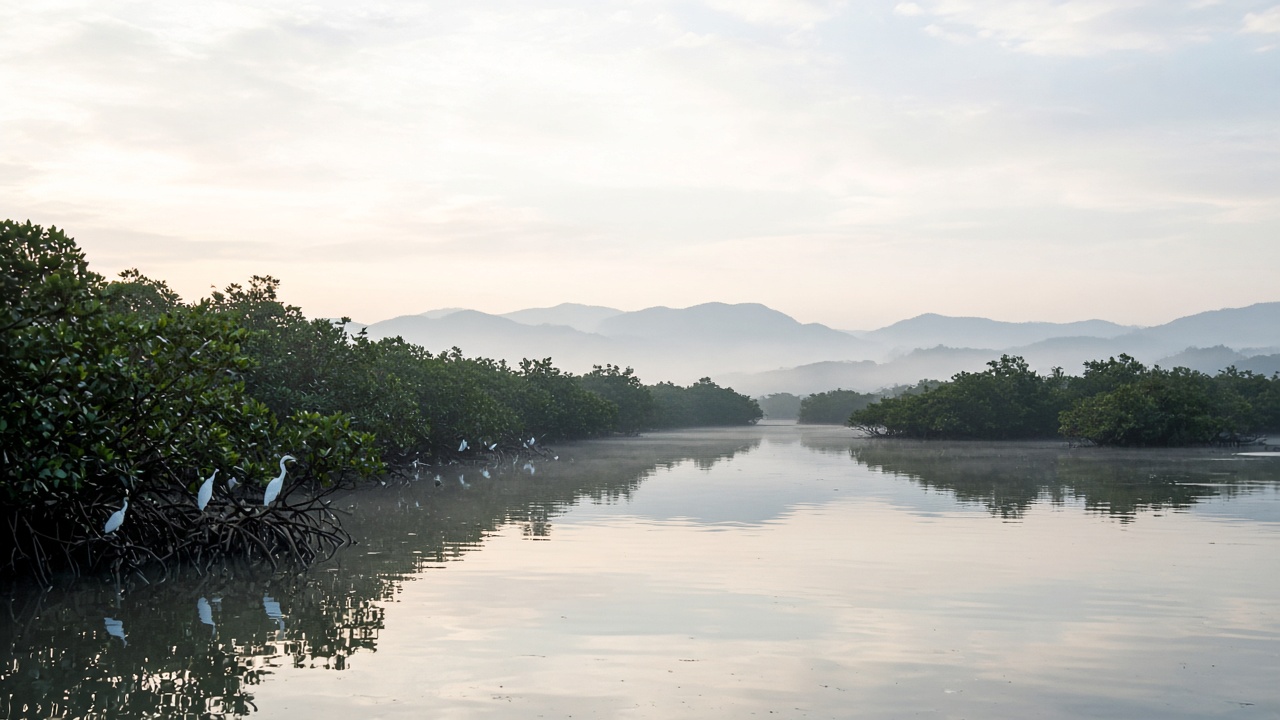
Guangdong connects diverse ecosystems
A LAND OF DIVERSE HABITATSDATA PLATFORM
Data platform
Through data, discover Guangdong
Bring diverse sources together with multidimensional search and visual analysis. Make Guangdong’s plant diversity visible, accessible and ready to explore.
Connected data
Explore diverse public sources
Spatial exploration
Explore plants in their landscape
Multidimensional search
For research and discovery
Responsible access
Respect privacy and public access
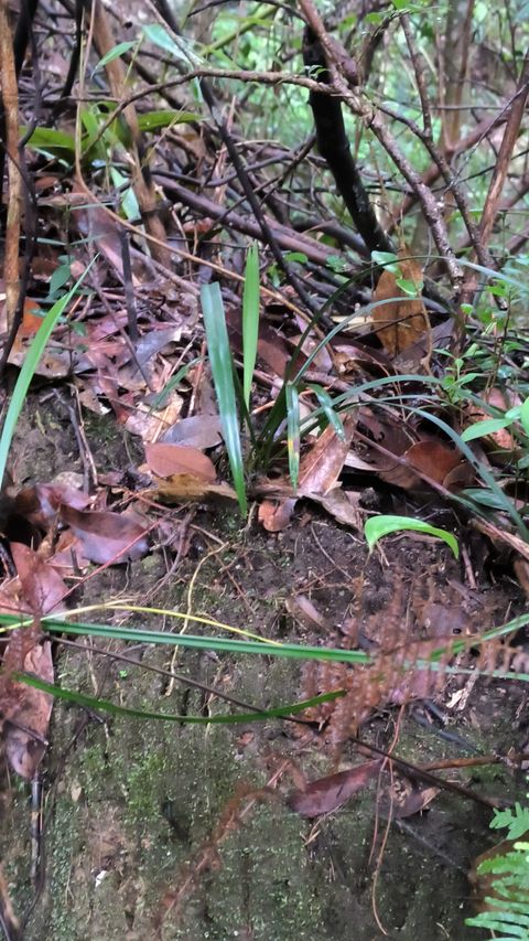
HABITAT & REGION
Habitats & regions
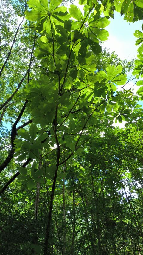
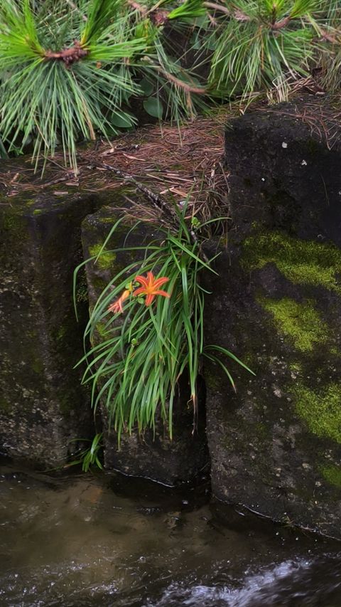
Diverse landscapes, diverse life
From the Nanling Mountains to the Pearl River Delta, from coastal wetlands to offshore islands, Guangdong’s varied terrain and climate nurture a rich diversity of plant life.
Explore records on the mapFEATURED SPECIES
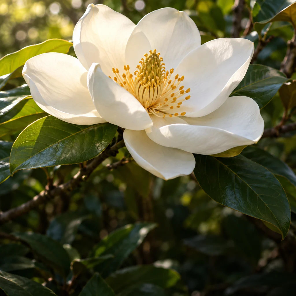
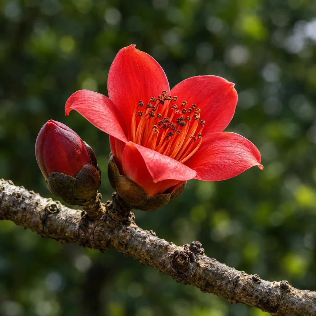
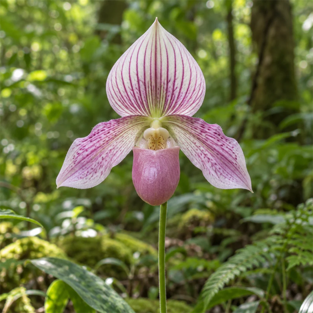
Featured species
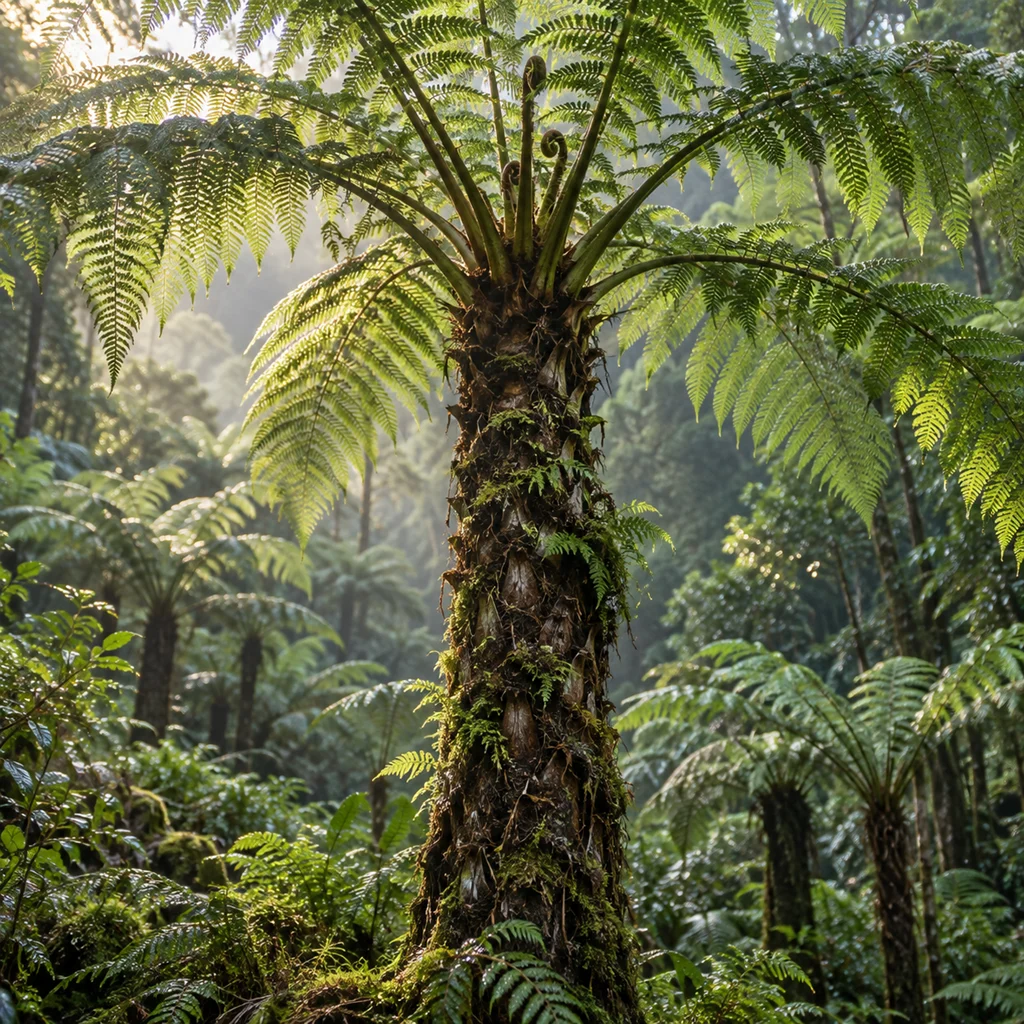
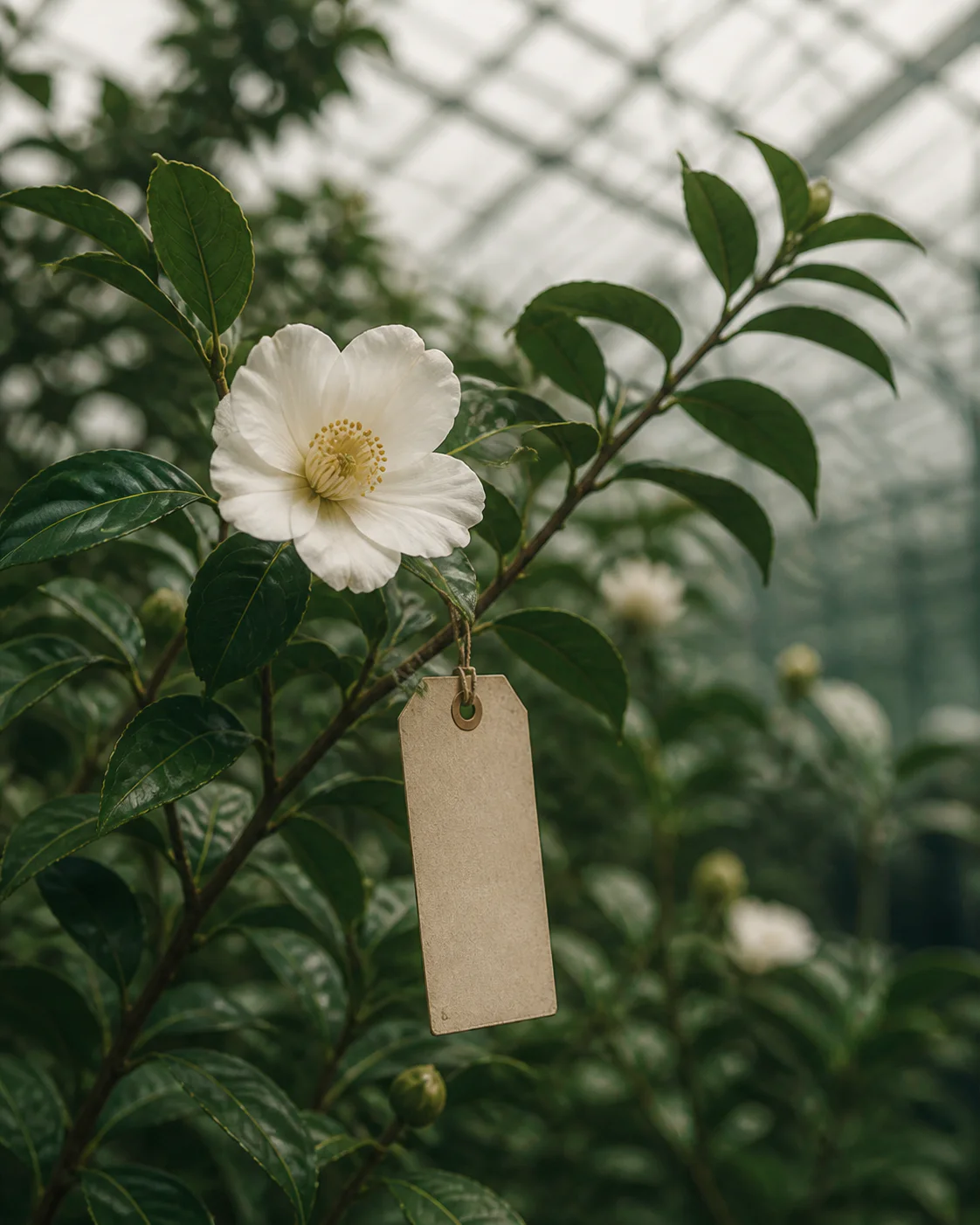
The botanical beauty of Guangdong
From rare protected plants to the native flora of Lingnan, Guangdong holds a rich and distinctive botanical heritage. Every plant tells a story of this land.
Explore the plant atlas- vascular plants
- 3,800+
- nationally protected
- 220+
- Guangdong endemics
- 120+
- rare & threatened
- 50+

BIOGRID · DATA BEGINS IN THE FIELD
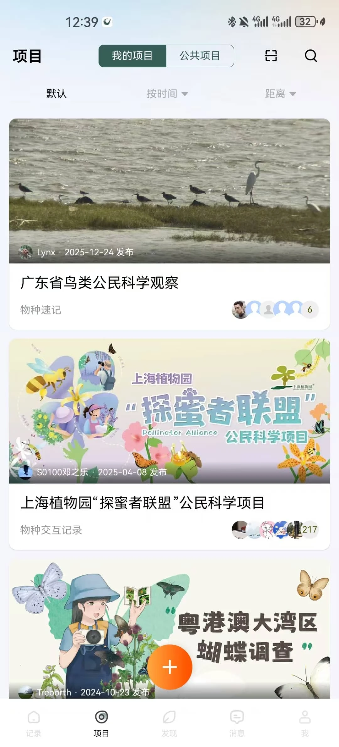
BioGrid Mobile field app
The mobile companion to the biodiversity information platform. Connect photos and locations with identification and projects, building a shared record for ongoing research while improving field collection and collaboration efficiency by 300%.
- Collect
- Organize
- Identify
- Share data
Free download
Scan to download
Choose the version for your device

Or search for BioGrid in your app store